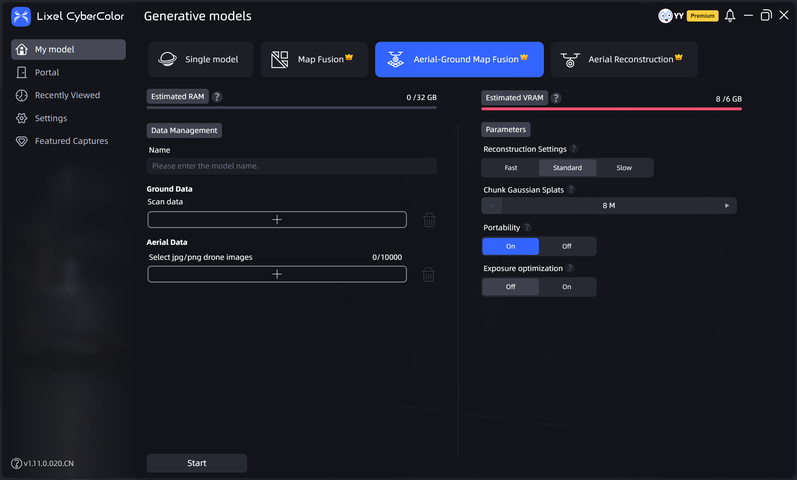
Aerial-Ground Map Fusion
Aerial-Ground Map Fusion fuses drone-captured aerial images with ground capture data for multi-perspective, multi-scale integrated modeling. It more comprehensively restores the spatial structure and detail of large complex models, improving the completeness and realism of 3D models.
Workflow
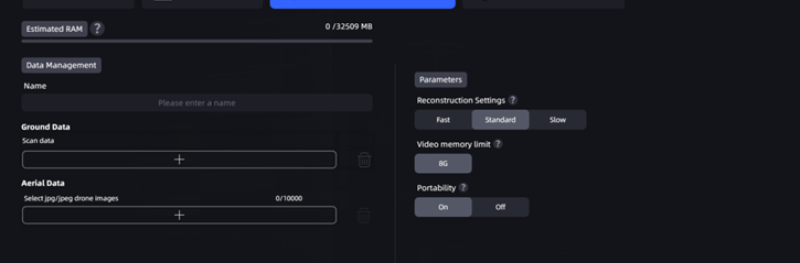
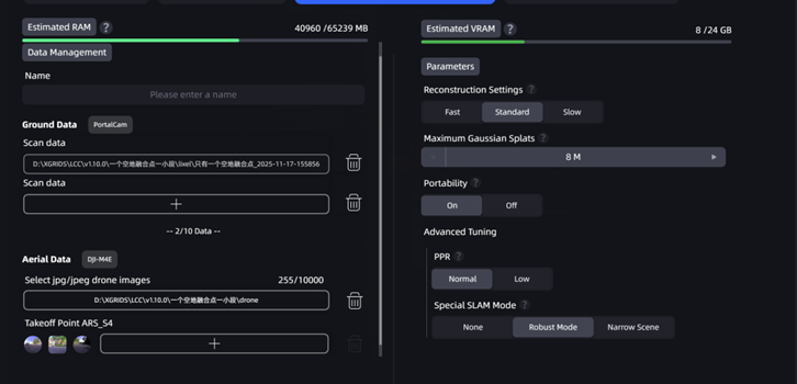
Upload Ground and Aerial Data
- Ground Data: Upload data files captured by L series or PortalCam devices. The interface displays the corresponding device type.
- Aerial Data: Select the folder containing drone-captured images. Note the following when selecting:
- The folder should contain between 100 and 10,000 images.
- Only JPG and JPEG format images are supported.
- Image resolution must be higher than 1024×768, and all images must have consistent resolution.
- For PortalCam devices, you need to upload aerial photos and takeoff/landing point photo folders at the corresponding aerial-ground fusion points (if no aerial-ground fusion point was marked at the drone takeoff/landing point during capture, uploading aerial photos directly may result in reduced aerial-ground fusion quality or reconstruction failure).
Set Model Name and Parameters
Aerial-Ground Map Fusion
Aerial-Ground Map Fusion (without control points)
Aerial-Ground Map Fusion (with control points)